Two Altona Meadows men have been convicted and fined nearly $16,000 for illegally netting fish in Port Phillip last year.
The two, aged 78 and 43, recently pleaded guilty in the Melbourne Magistrates Court to several charges including the unauthorised use of commercial fishing equipment, illegally selling fish, and dealing in the proceeds of crime.
“The older man, who was fined $5500, is one of eight remaining commercial licence holders in Port Phillip, permitted to catch fish on long lines, but not with nets, which were phased out from the bay in April 2022. The younger man was fined $10,300,” said Ian Parks, Victorian Fishing Authority (VFA) Director of Education and Enforcement.
They were arrested in November last year following a six-month investigation, codenamed Operation Debris, which began in June 2023 when Fisheries Officers located a large quantity of mesh net hidden along a remote section of shoreline on the western side of Port Phillip.
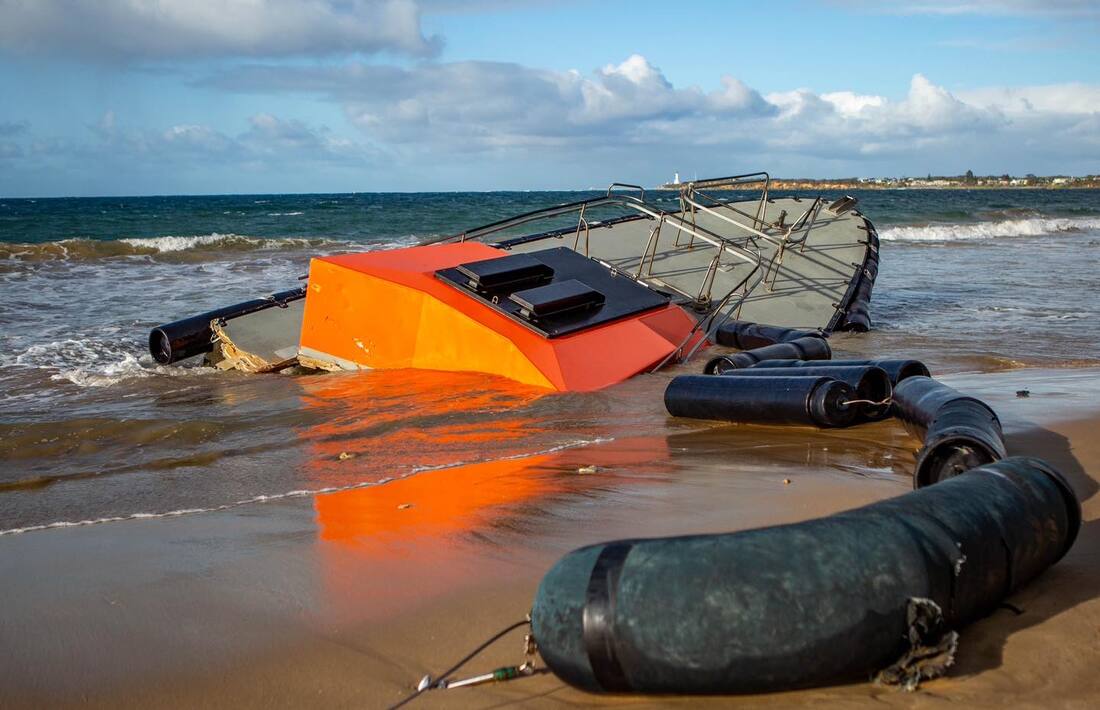
In an effort to remain undetected, the duo had been fishing with up to 844 metres of net under the cover of darkness, often traveling dangerously without navigation lights visible on their boat.
Having launched their vessel, they would collect hidden nets from the shoreline, catch a variety of fish, then stash the nets back ashore before returning to the boat ramp with their haul, which included snapper, gummy shark, and bream.
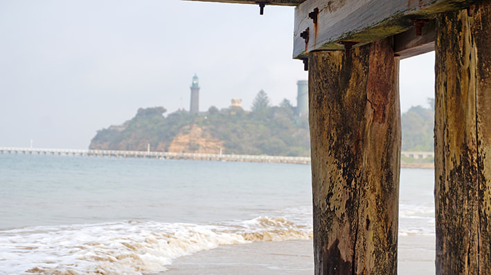
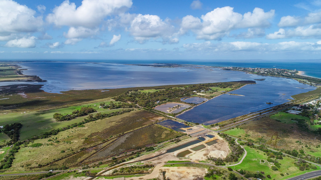
Their activity occurred around Point Wilson and internationally-recognised Bellarine Peninsula Ramsar Site which has six distinct wetland areas.
The illegal nets were seized and taken back to the VFA’s Queenscliff Harbour offices.
The two, aged 78 and 43, recently pleaded guilty in the Melbourne Magistrates Court to several charges including the unauthorised use of commercial fishing equipment, illegally selling fish, and dealing in the proceeds of crime.
“The older man, who was fined $5500, is one of eight remaining commercial licence holders in Port Phillip, permitted to catch fish on long lines, but not with nets, which were phased out from the bay in April 2022. The younger man was fined $10,300,” said Ian Parks, Victorian Fishing Authority (VFA) Director of Education and Enforcement.
They were arrested in November last year following a six-month investigation, codenamed Operation Debris, which began in June 2023 when Fisheries Officers located a large quantity of mesh net hidden along a remote section of shoreline on the western side of Port Phillip.
In an effort to remain undetected, the duo had been fishing with up to 844 metres of net under the cover of darkness, often traveling dangerously without navigation lights visible on their boat.
Having launched their vessel, they would collect hidden nets from the shoreline, catch a variety of fish, then stash the nets back ashore before returning to the boat ramp with their haul, which included snapper, gummy shark, and bream.
Their activity occurred around Point Wilson and internationally-recognised Bellarine Peninsula Ramsar Site which has six distinct wetland areas.
The illegal nets were seized and taken back to the VFA’s Queenscliff Harbour offices.